
Mint Hill ZIP Code Directory Coverage
Postal labels can narrow an address search, but they do not provide a complete municipal map. The most strongly supported Mint Hill postal label is 28227. The official North Carolina Department of Revenue crosswalk shows that one ZIP with several city and county combinations, including Charlotte in Mecklenburg County, Charlotte in Union County, and Mint Hill in Union County. Mint Hill itself spans southeastern Mecklenburg and northwestern Union counties, so use a parcel or jurisdiction result before choosing tax, deed, court, or voter records.
| ZIP | Areas Covered | Post Office | Notes |
|---|---|---|---|
| 28227 | Core supported Mint Hill postal label; crosswalk also shows Charlotte/Mecklenburg and Charlotte/Union labels | USPS Mint Hill Post Office, 8920 Lawyers Road | Most strongly supported current Mint Hill ZIP; not a town-boundary polygon |
| 28105 | Mint Hill planning and adjacent-owner examples; nearby Matthews postal context | Not fully located in the inspected sources | Border or nearby label, not confirmed as a full-town ZIP |
| 28104 | Secondary southeastern-edge possibility in search results | Not located in official sources | Do not treat as a confirmed Mint Hill ZIP |
The table records what the inspected sources support, not an exhaustive boundary list. A parcel can still need a Mecklenburg or Union route even when its mailing form includes Mint Hill or Charlotte.
Mint Hill Postal Label 28227
USPS identifies the Mint Hill Post Office at 8920 Lawyers Road, Mint Hill, NC 28227-9498. The four extra digits identify the post-office delivery detail in that listing. They do not prove that each address beginning with 28227 lies inside the incorporated town. Keep the five-digit ZIP, the postal-city label, and the date of the USPS check in the research note, then move to county GIS for the government-record route.
The USPS Mint Hill Post Office listing is the direct postal source for the core Mint Hill ZIP code reference.
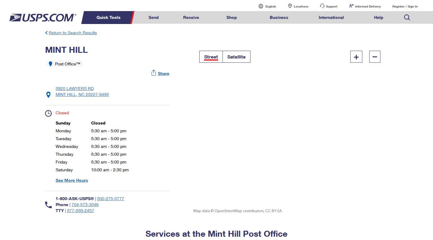
The postal listing establishes a delivery reference, while the crosswalk and parcel tools determine whether the associated records should be routed through Mecklenburg or Union County.
Mint Hill Postal Crosswalk Labels
The NCDOR ZIP and city-county crosswalk is valuable because it exposes the mismatch directly. For 28227, the inspected rows include Charlotte/Mecklenburg, Charlotte/Union, and Mint Hill/Union. Those entries show tax and postal labeling, not a single municipal boundary. Do not infer town membership, county jurisdiction, or a complete address list from one crosswalk row.
The Mecklenburg municipalities reference confirms the local geographic issue from the town side: Mint Hill reaches into southeastern Mecklenburg and northwestern Union. A postal city can therefore be a useful clue and still be the wrong basis for choosing a county custodian.
Finding Records Within a Mint Hill ZIP
No documented Mint Hill-specific portal field for a ZIP-wide resident search was located. That limitation is important. The reliable task is to resolve one supplied address, then follow its parcel identifier and county route. ZIP can be retained as a search and filing detail, but it should not be used to build a roster or to assume a person lives at a listed mailing address.
- Preserve the original street address, postal city, ZIP code, and the date it was supplied or observed.
- Check Mecklenburg GIS Address Management for the normalized address components and jurisdiction clues.
- Search the address or landmark in GeoPortal, which accepts at least four characters and provides map context.
- Use POLARIS to capture the PID or NC PIN and keep the result date.
- Confirm fields in the Tax Parcel ArcGIS layer, then route tax and deed work to the county that holds the parcel.
Once a ZIP has narrowed a postal area to an address, the Mint Hill street directory route handles the address-specific parcel, tax, deed, permit, and historical street work.
Mint Hill Address Fields After ZIP
Keep postal and property fields separate. Mecklenburg GIS Address Management can identify house number, street name, postal city, ZIP, jurisdiction, districts, and centerlines. GeoPortal and POLARIS add parcel and map context. The ArcGIS tax-parcel layer can supply field-level information such as PID, NC PIN, parcel identifiers, street fields, legal description, municipality, tax and fire districts, deed book and page, owner category, mailing address, and ZIP. Those fields answer different questions and can change on different schedules.
| Original address | The supplied postal form, retained before any normalization. |
|---|---|
| Postal city and ZIP | Delivery labels that help locate the address but do not set town limits. |
| GIS-normalized situs | The geographic property address used to connect mapping and parcel data. |
| PID or NC PIN | The parcel identifier used to connect tax, GIS, and recorded-property work. |
| Municipality and county | Jurisdiction fields that determine the next records custodian. |
| Mailing address | Tax-correspondence information, not proof of who is present at the situs. |
The layer's mailing data may update daily, while a recorded instrument and GIS display can update at different times. Preserve an as-of date and use a deed or plat for a legal boundary question.
Mint Hill Postal Boundary Mismatch
ZIP boundaries and Mint Hill city limits answer different questions. USPS assigns delivery routes and postal-city labels. Municipal limits, county lines, tax districts, fire districts, and GIS jurisdiction are government geography. A single five-digit ZIP can cross those lines, and a local mailing form can use Charlotte or Mint Hill without resolving the parcel's county. The parcel result is the better source for a deed, tax, court, permit, or public-record request.
Search the supplied postal version and the GIS-normalized situs version if an address does not immediately resolve. Compare the returned municipality, county, and parcel identifier before treating an address as part of the same record system as another address with the same ZIP code.
Note: A ZIP change or older postal form is a routing hypothesis until it is tested against a map, parcel record, legal description, plat, or historic directory.
Mint Hill ZCTA Limits
The Census Bureau's ZIP Code Tabulation Areas, or ZCTAs, are statistical approximations of USPS delivery areas. They are useful for broad geographic or demographic context, but they are not incorporated-town boundaries and should not replace parcel GIS. A ZCTA may look like a clean area on a map while an individual address routes to another county, district, or municipality for records purposes.
The Census ZCTA guidance explains why a statistical postal approximation should not be used as a Mint Hill boundary claim.
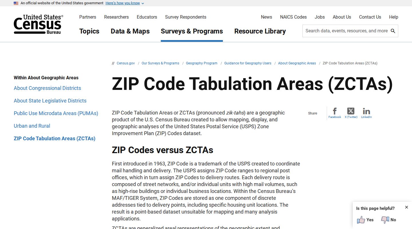
Use a ZCTA to understand the general delivery area, then return to address, parcel, and jurisdiction data when a records route depends on the exact location.
Mint Hill Postal Terms
These terms prevent a postal label from being mistaken for a property boundary. They describe delivery and routing concepts, not a verified list of Mint Hill addresses or people.
- ZIP code
- A five-digit USPS delivery-area label, useful for mail routing but not a town or county boundary.
- ZIP+4
- An added four-digit delivery detail. The post-office example 28227-9498 does not define every 28227 parcel.
- PO-box ZIP
- A ZIP used for post-office boxes. No Mint Hill PO-box-specific ZIP confirmation was located in the inspected sources.
- Unique ZIP
- A ZIP assigned to one organization or institution. No Mint Hill unique-ZIP confirmation was located in the inspected sources.
- Carrier route
- A mail-delivery grouping. It is not a municipal boundary or a parcel ownership record.
Mint Hill Historic Address Checks
An older address or ZIP should be tested, not silently converted. No official Mint Hill mass street-renumbering or ZIP-realignment archive was located in the research. Historical directories can use city numbers, rural routes, and older street names. Compare the mailing lead with a directory street index, deed legal description, plat, historic road name, census enumeration district, or county map before calling two address forms the same place.
The located 1887-8 Charlotte directory advertises a street directory using a new city-number system. It can help investigate an older address convention, but the Charlotte coverage does not establish complete Mint Hill coverage. Keep every unresolved difference visible in the final research note.
Mint Hill Postal Assumptions to Avoid
Do not treat a tax mailing address as a situs address, an owner record as a statement about who is present, or a postal city as a municipality. The most careful route records the original label, the GIS-normalized address, PID or NC PIN, county, municipality, and source date. It also marks uncertainty where a field is absent or the parcel may be in Union County.
One Mint Hill address can carry a postal city, ZIP, town jurisdiction, county, tax district, fire district, special district, and voting or school assignment that do not match one another. GeoPortal can expose several of those map contexts, while the parcel record preserves the geographic identifier needed for county work. Record each label separately instead of overwriting the original mailing form with the first result returned by a search.
For a public-record request, ask the correct custodian for an existing record and use the identifier or exact date range available. North Carolina's public-records rules do not require an agency to create a custom address or resident-history database. Confirm important records with the office that holds them.