
Walking a Mint Hill Street Directory Record
A Mint Hill street search should begin with the exact number, street name, postal city, ZIP, and the date the address was supplied. The first goal is not to assign a person to the address. It is to preserve the address and determine the county, municipality, GIS identifier, and legal description that each later record uses. Mint Hill crosses Mecklenburg and Union counties, so an address must be routed before a Mecklenburg no-result is meaningful.
Property records are the strongest address-to-owner chain. They still have boundaries. A current tax owner can be a corporation, trust, estate, government entity, or correspondence recipient. A mailing address can be elsewhere. Treat each source as either a direct record, an administrative address, a historical clue, or a lead needing a second record.
- Enter the original Mint Hill address in a county GIS route and preserve alternate spellings or postal labels.
- Record the county, municipality, PID or NC PIN, normalized situs, map date, and parcel boundary.
- Search the current tax record by parcel or street fields and keep owner, mailing, and situs roles separate.
- Use deed book and page or the legal description to inspect the Register of Deeds chain, including earlier instruments.
- For a separately identified name, use the voter route only within its public limits, then use a dated address directory as an older clue.
Mint Hill Street Directory Starts With County
County choice changes the land, tax, court, and election route. The town reaches southeastern Mecklenburg and northwestern Union, and the address labels can differ from the town label. Official crosswalk rows for ZIP 28227 include Charlotte/Mecklenburg, Charlotte/Union, and Mint Hill/Union. The ZIP is therefore a search clue, not a proof of town limits or county.
Mecklenburg GeoPortal accepts address or landmark text after at least four characters. It can display ownership, restrictions, school assignments, services, voting districts, representatives, parks, libraries, and community information. The map is a general reference rather than a legal survey. Check a recorded deed or plat when a boundary, lot, or easement needs legal confirmation.
Mecklenburg GeoPortal is the official address-and-overlay viewer for the Mecklenburg side of Mint Hill.
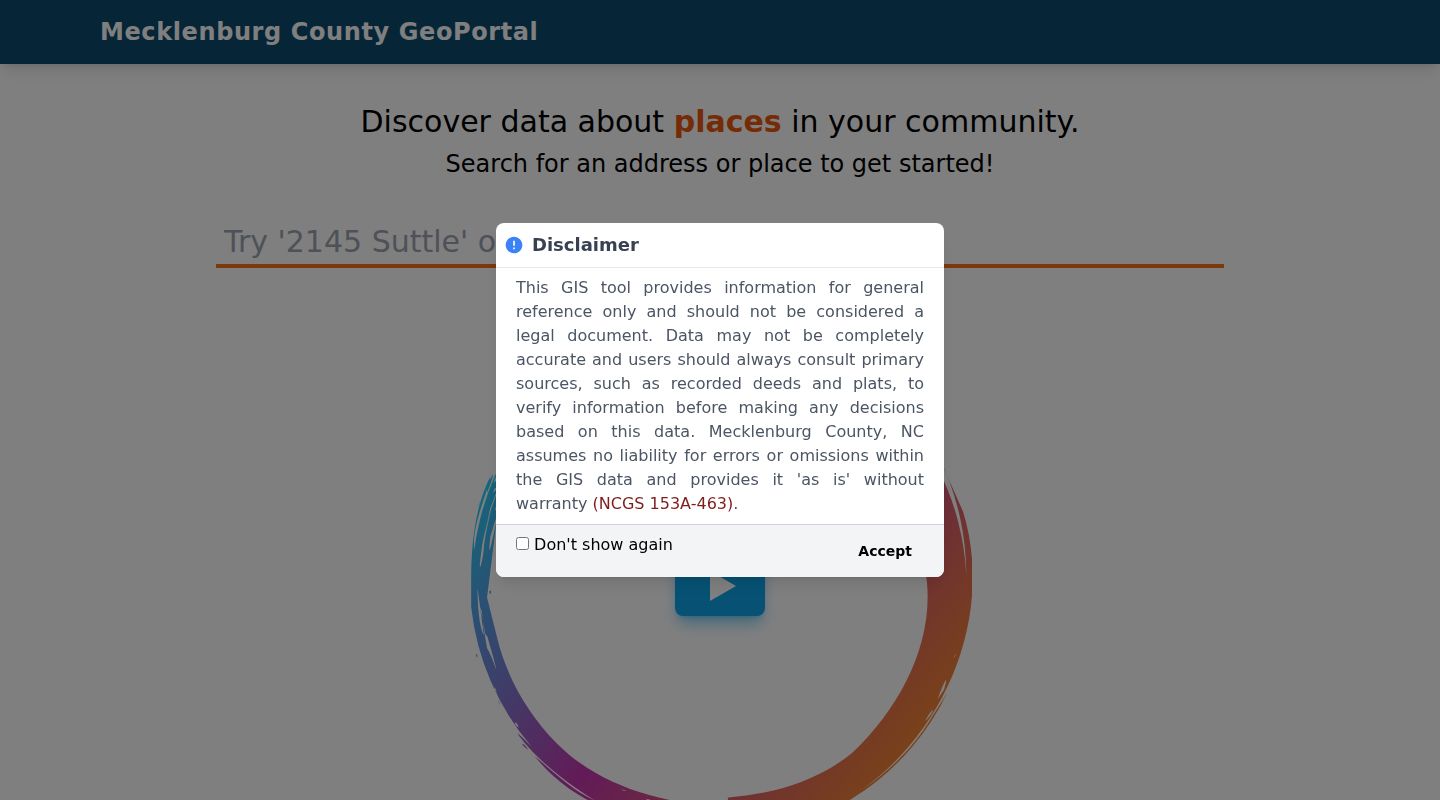
Use the returned map labels to decide which custodian holds the next Mint Hill street record, rather than treating a postal city or ZIP as the final jurisdiction.
Mint Hill Street Address Labels Matter
Mecklenburg GIS Address Management separates the house number, street name, postal city, ZIP, jurisdiction, district, and centerline. A supplied address can have a different postal and governmental label. Keep the original form alongside the GIS-normalized form. That makes an older road name, a missing street suffix, or a different mailing city easier to test without overwriting the initial evidence.
Mecklenburg GIS Address Management documents the local address elements used across county mapping services.
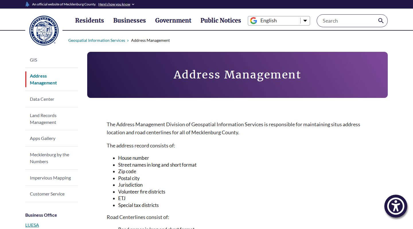
That field-by-field approach is useful for Mint Hill streets where the postal city, town jurisdiction, fire district, and county do not all use the same label.
Mint Hill Street GIS Parcel Fields
The Mecklenburg Tax Parcel Ownership ArcGIS layer is useful once the location is known. It separates administrative data that can otherwise be confused: PID, NC PIN, parcel ID, owner type, mailing address, ZIP and state, street number and name, legal description, municipality, tax district, special district, fire district, deed book/page, sale price and date, land values, and annexation date. The metadata notes that mailing data is updated daily, while land records can lag a recorded instrument.
| Field group | Mint Hill street use | Important limit |
|---|---|---|
| PID and NC PIN | Connect the address to the parcel across GIS, tax, planning, and deed research. | Parcel boundaries can change after a subdivision or adjustment. |
| Situs and mailing | Keep physical parcel location separate from correspondence routing. | Mailing data does not establish a current resident. |
| Deed book/page and legal description | Bridge a current parcel to recorded instruments and older street forms. | Confirm the instrument and recording date. |
| Municipality and districts | Route local services, tax, fire, or jurisdiction questions. | They are not interchangeable with a postal label. |
The Tax Parcel Ownership ArcGIS layer exposes the structured parcel fields used for an address check.
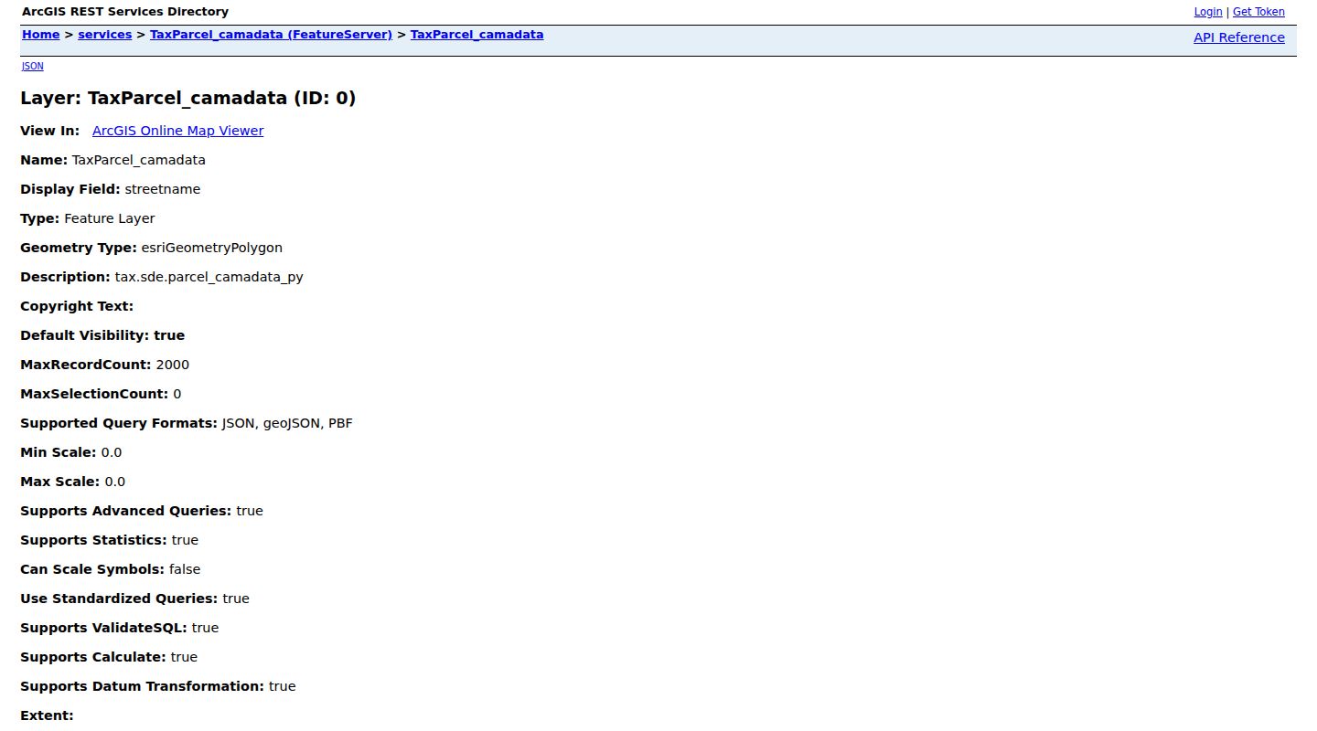
The parcel layer is an administrative snapshot. Record the retrieval date before comparing it to a recorded Mint Hill deed.
Mint Hill Street Tax Searches by Field
Mecklenburg Tax Administration documents search paths for Bill Number, Business Name, Owner Name, Parcel Number, Street Name, Street Number, and Tax Year. Address work usually improves when a broad street result is narrowed with the exact number or parcel number. Keep any municipality and solid-waste charge context in the tax record, because a total bill can include more than basic value information.
Tax data is useful for current administrative facts. It is not a full chain of title, a list of people at the address, or a record of every event connected with the parcel. The more reliable sequence is street field to PID, PID to tax detail, then deed reference to the recorded land record.
Mint Hill Street Directory Deed Chain
Search recorded land by the parcel's legal description as well as the street name. A present street name may be missing from an older instrument, while lot, block, subdivision, tract, or metes-and-bounds language can remain the continuity link. Record execution and acknowledgment dates separately from the recording date. The later date can explain why a tax or GIS result changed after a transaction.
Mecklenburg's modern real-property records cover March 1990 to the present. Historical Land Records cover 1763 through February 1990. The historical search can require Type Land, Subtype Grantor or Grantee, a year range, and separate Human or Corporation choices. Search both index paths when a developer, trustee, estate, church, municipality, or LLC could appear in the chain.
The Mecklenburg Register of Deeds Aumentum index is the public gateway for the modern recorded-land route.
A grantor transfers or releases an interest, and a grantee receives one. A trustee or lender in a deed of trust is not necessarily the fee owner, which is why document type belongs with every Mint Hill deed result.
Mint Hill Address Permits Date Changes
Mecklenburg Code Enforcement provides an address search for permits and inspections. Online building records are generally available for the last six years. A permit can supply a project, issue or status detail, inspection sequence, or certificate route. It can also point to a site plan or related county record when a street address has changed form.
A permit applicant, contractor, property owner, and current resident can be different people or entities. Use a permit for building chronology, not as a shortcut to residency. Mint Hill's new-house and addition material also notes that county officials complete permits and that older lots may lack setback records.
Mecklenburg's permit search by address is the documented public entry point.
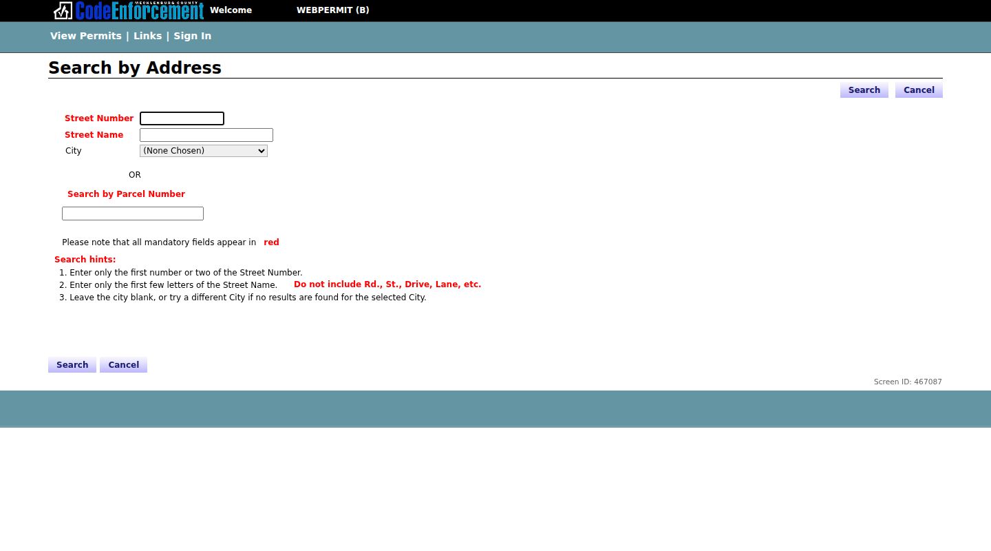
For a Mint Hill parcel, pair the permit date with the PID, record source, and deed or plat reference rather than treating the permit as a complete property history.
Mint Hill Records Searchable by Street
A street address opens several related record sets, but each has a narrow role. Start with the address authority and parcel map, then follow the PID, NC PIN, deed reference, or legal description to the next source. The records below can help build a documented address timeline without turning administrative fields into claims about every person who may be connected to a place.
| Mint Hill record set | Keeper | What address search shows | Access |
|---|---|---|---|
| Address authority | Mecklenburg GIS Address Management | Number, street, ZIP, postal city, jurisdiction, districts and centerline | Official GIS source |
| GIS parcel viewer | Mecklenburg GIS | Parcel boundary, owner fields, situs, mailing, overlays and property analysis | Public GeoPortal or POLARIS |
| Tax bill and parcel | Tax Administration and GIS | Bill, owner, parcel, value, tax district and sale or legal fields | Public tax and ArcGIS routes |
| Deed and plat | Register of Deeds | Party roles, legal description, book/page, map, plat and instrument | Modern and historical indexes |
| Permit and site-plan file | Code Enforcement and Mint Hill Planning | Project, inspection, PID, road, development or notice context | Address route and official PDFs |
Those systems chain together through the parcel identifiers and legal description. Street text starts the search, but a legally recorded description and plat give stronger continuity.
Mint Hill Street Record Terms
Mint Hill address research uses a few terms that need to stay distinct. The same parcel can have a situs address, an owner correspondence address, and a legal description. A street-directory hit can be useful, but it is a dated listing rather than a survey or a guarantee that a modern address is identical.
- Parcel
- A mapped and taxed unit of land, generally identified with a PID or NC PIN.
- Situs address
- The physical address assigned to a parcel by the addressing system.
- Plat
- A recorded map that depicts lots, roads, easements, or subdivision layout.
- Criss-cross directory
- A historical directory arranged by address, used as a dated clue alongside a parcel or deed.
Record the original address, source date, field name, and identifier with each Mint Hill result. That small record trail makes a later mismatch easier to understand and correct.
Mint Hill Old Street Labels Need Proof
Older addresses can use city numbers, rural routes, road names, and street forms that differ from current GIS language. The 1887-8 Charlotte directory advertises a street directory by a new city-number system. It is a useful normalization hook, not proof that Mint Hill had the same renumbering. Pair any old address lead with a deed legal description, recorded plat, historic map, or census enumeration detail before naming it as the same parcel.
Historical volumes may describe Charlotte and immediate suburbs, which is a coverage statement rather than evidence that every Mint Hill household was included. For the broader collection history, the Mint Hill city directories route keeps the address-source context separate from the current parcel chain.
Mint Hill Street Directory Limits
No official Mint Hill resident directory, complete municipal court index, or complete town cemetery index was located. Property records identify ownership or administrative mailing details, not all people at a situs. Voter records have protected-address rules. Court, permit, planning, and directory results each reflect a particular role and date. A missing item can reflect jurisdiction, coverage, a lawful privacy limit, or a record that belongs with another custodian.
North Carolina's Address Confidentiality Program and qualifying protected-voter rules safeguard addresses in defined circumstances. Do not attempt to infer, reverse-geocode, republish, or seek a protected location from another record trail.
Mint Hill Address Sources Need Context
An official map, tax record, deed, permit, or planning packet identifies its keeper and field scope. A commercial directory category can produce a question, but it may mix old addresses or different people with the same name. Official Mint Hill records are the check for county, parcel, date, document type, and the role behind a listed field.
Keep a simple address timeline: source date, record type, PID or NC PIN, parties or owner type, situs and mailing labels, legal description, book/page or instrument, municipality and county, source URL, and any unresolved conflict. That structure makes a Mint Hill street result more useful without overstating what a single record can prove.